
 Storm could bring the heaviest snowfall and coldest temperatures since 2011
The huge winter storm that could bring the heaviest snowfall and coldest temperatures in over a decade, with tens of millions of Americans expected to be affected.
The storm, which started in the middle of the US, will move east in the next couple of days, the National Weather Service (NWS) said.
AccuWeather forecaster Dan DePodwin said: “This could lead to the coldest January for the US since 2011.”

He added that “temperatures that are well below historical average” could linger for a week.
Those low temperatures will be on the east coast as well, where the storm is expected to reach by Sunday evening
A state of emergency has been declared in Kentucky, Virginia, Kansas, Arkansas and Missouri and parts of the US unaccustomed to severe cold, including Mississippi and Florida, have been warned to expect treacherous conditions.
A total of 30 states have been put under a weather alert as the storm is expected to travel eastwards across the country.
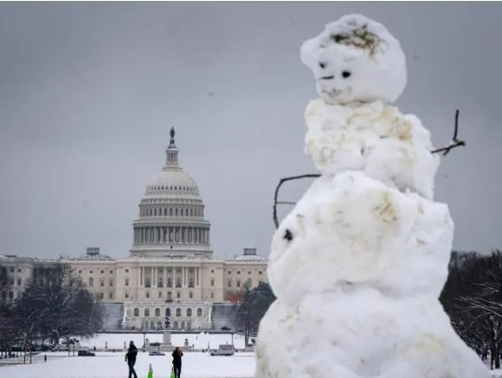
Cities including Washington DC, Baltimore and Philadelphia are preparing for snowy and icy conditions from Sunday into Monday.
It’s just turned 07:30 in the US (12.30 GMT) and many Americans are waking up to the news that there will be “considerable disruptions to daily life” and “dangerous or impossible driving conditions and widespread closures” across the central US – according to the National Weather Service (NWS) says.
And in parts of the Midwest, blizzards are possible.
“Whiteout conditions will make travel extremely hazardous, with impassable roads and a high risk of motorists becoming stranded,” the NWS warned.
As we reported earlier, conditions on roads have already deteriorated, with one state high patrol trooper urging people to stay at home.
American, Delta, Southwest and United airlines are waiving change fees for passengers because of the potential flight disruptions.