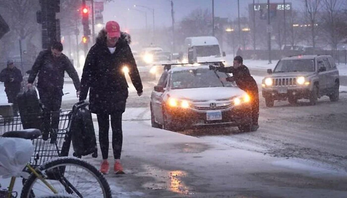
Millions of travellers who are anticipated to travel during the extended Christmas weekend may have a difficult journey if their path leads them through the central United States.
This week, a strong storm that has already caused issues for the Desert Southwest and Southern California will combine with another storm to provide a range of significant weather conditions.
A closer view at the massive storm is mentioned as follows:
This weekend, when the storm moves into the central United States, pockets of heavy snow are predicted.
In the Rocky Mountains, which stretch from Montana to Colorado, the snowpack gets going. Moreover, at the highest altitudes, up to two feet of snow may fall by Christmas Eve.
“Maybe Denver getting some rain into snow, maybe 1-3 inches worth,” Fox Weather Meteorologist Bob Van Dillen said.
As the storm advances east, the northern Plains may also experience two distinct batches of snow until Christmas Day.
Along the Nebraska-South Dakota border, it’s possible to get almost 5 inches of snow, and in some remote places, you can get up to 8 inches.
Before all is said and done, Minneapolis, Minnesota, might even see a few flakes flying.
Some people reported seeing an ice mix of wintry weather during this storm, which was caused by the collision of warm and cold air.
The eastern Dakotas and western Minnesota, where freezing rain is anticipated after lunch on Christmas, seem to have the best prospects of any ice accumulation along Interstate 29.


